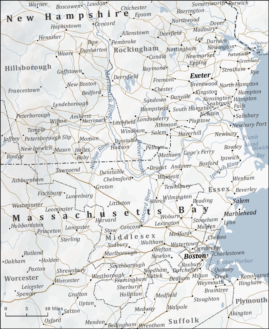
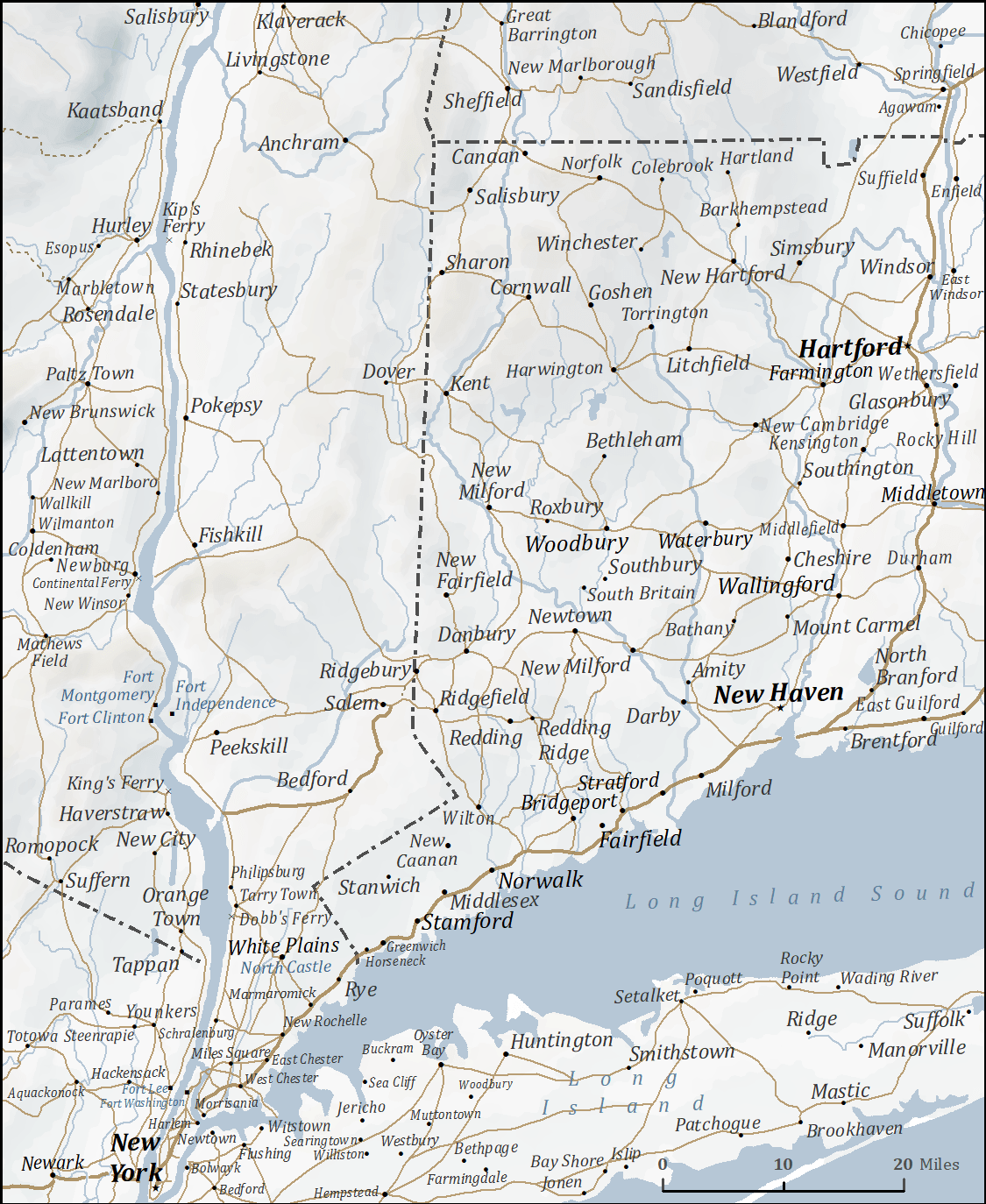
Isaac Frye covers a lot of ground during the war. Maps help orient provide context for the world Isaac lived in. These maps only show the places in the parts of colonial Colonial America that Isaac traveled to. I compiled them from period maps ranging in date from 1775 to 1784, though a few earlier maps were used as well.
 |
 |
 |
| Map of the part of Wilton where Isaac Frye lived. | Territory between Wilton and Boston | New England southwest of Boston |
 |
 |
 |
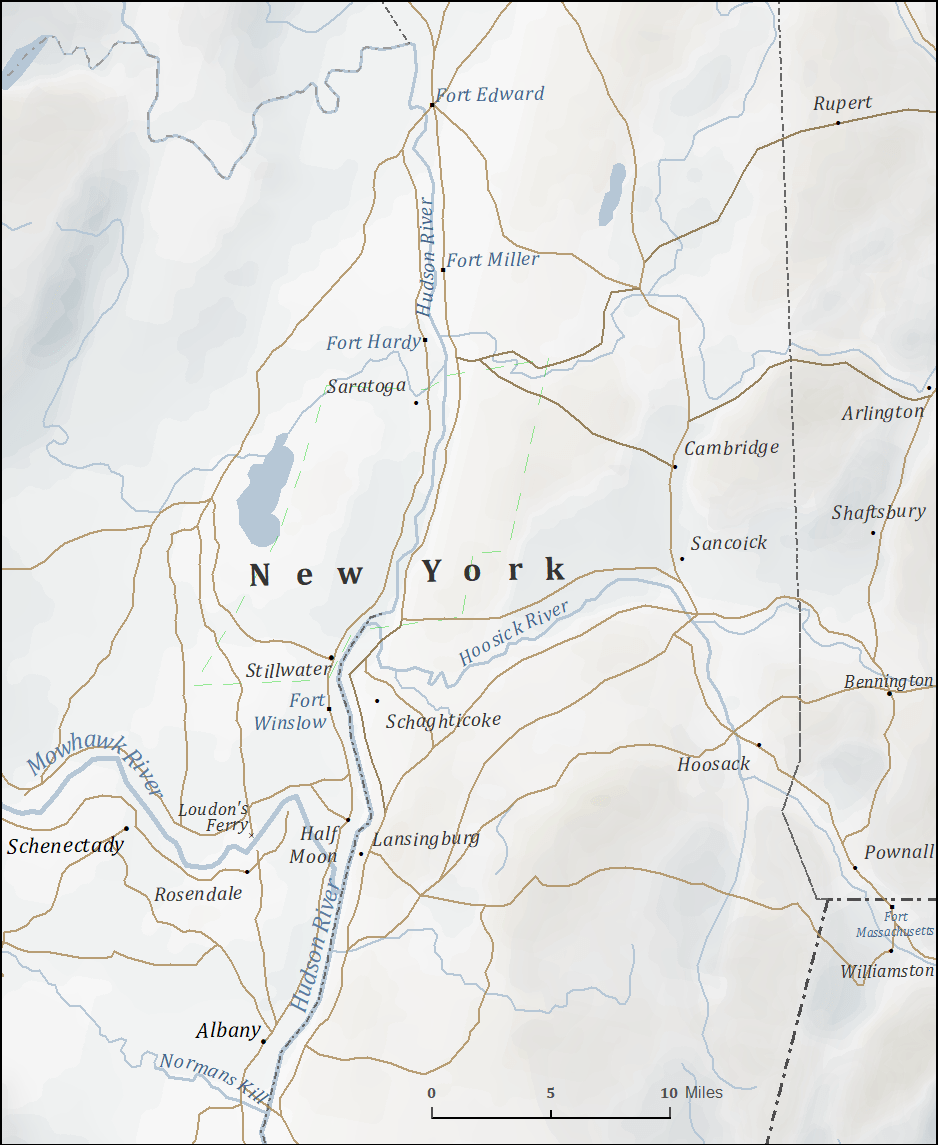
| The lower Hudson River and western Connecticut | The upper Hudson, Lake Champlain, and southern Quebec | Territory between Fort Ticonderoga and Wilton |
 |
 |
 |
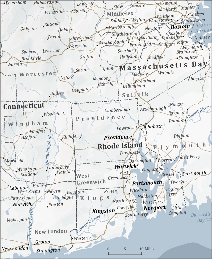
| Details of the Battle of Breeds Hill. | Shows Hillsborough County, New Hampshire, where Isaac recruited. | Territory where the American army traveled after evacuating Fort Ticonderoga. |
 |
 |
 |
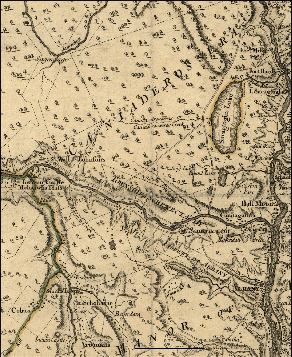
| Territory around Saratoga, New York. | The area of Isaac’s 40-man scout. Source: Montrésor, J., Andrews, P. & Dury, A. 1777 “A map of the Province of New York, with part of Pensilvania[sic], and New England.” A. Drury, London | The area north of Philadelphia, including Whitemarsh, Valley Forge, and Barren Hill. |
 |
||
|
New York, White Plains, Fishkill, Danbury, and western Connecticut. |
My research began with learning to apply ArcGIS software to create historical geographic information systems (GIS) and maps. These were my first two efforts, though I have revised them several times since after their initial completion in the early 2000s.

All maps and images are owned and copyrighted by Charlie Frye. Contact via email for terms of use and permissions.
