While writing, Trials of War, I got the opportunity of a lifetime to work as an advisor for Florentine Films on The American Revolution.
Behind the Maps: The American Revolution’s GIS Journey
While writing, Trials of War, I got the opportunity of a lifetime to work as an advisor for Florentine Films on The American Revolution.
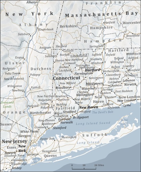
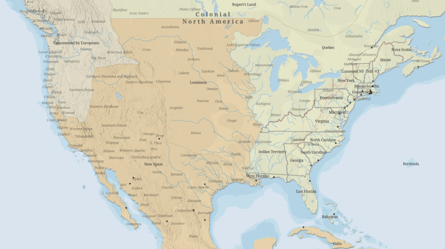
When I started researching Isaac Frye, I had the easy-to-say idea of tracing his path on a map as he made his way through the American Revolution. So, how can you really know where someone walked, slept, or rode two hundred and forty years ago? In truth, most of the time you cannot. As I…
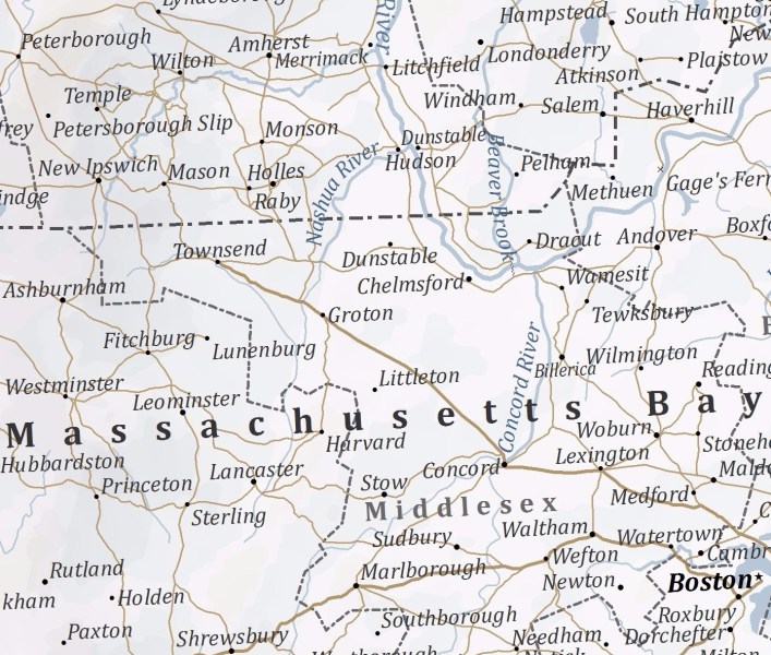
When I started learning about Isaac Frye, one my earliest goals was to put a pencil on the map, so to speak, and trace where he went during the American Revolution. Geographic Information Systems software, commonly called GIS, turned out to be the perfect solution.
